Historical maps available for regional research
2013 geographic data now online for reference
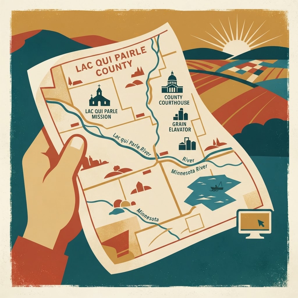
A 2013 map featuring Gary NW and Antelope Valley Township, SD, is available through the Pastmaps archive. The resource includes geographic details covering Lac qui Parle County, MN, as well as Deuel County and Grant County in South Dakota. This map originates from the U.S. Geological Survey and is held in the public domain for those who enjoy researching how our local landscape has been recorded over the years. It is a quiet, interesting look back at our regional borders and geography. If you are a fan of local history or simply need to check a historical boundary, this digital resource is ready for your perusal. It is always fascinating to see how the maps of our home have evolved, even over a relatively short period like the last thirteen years. Here's where to see it for yourself: LQP Google Alert.
History, Maps, Geography